Custom 3D map of Stockholm
The flat you rented on Södermalm, the office by Slussen, the church where you got married. Stockholm is a city people remember street by street, and a relief map lets you keep exactly the part you mean.
Make your 3D mapSee the preview before you order
Why this place works in relief
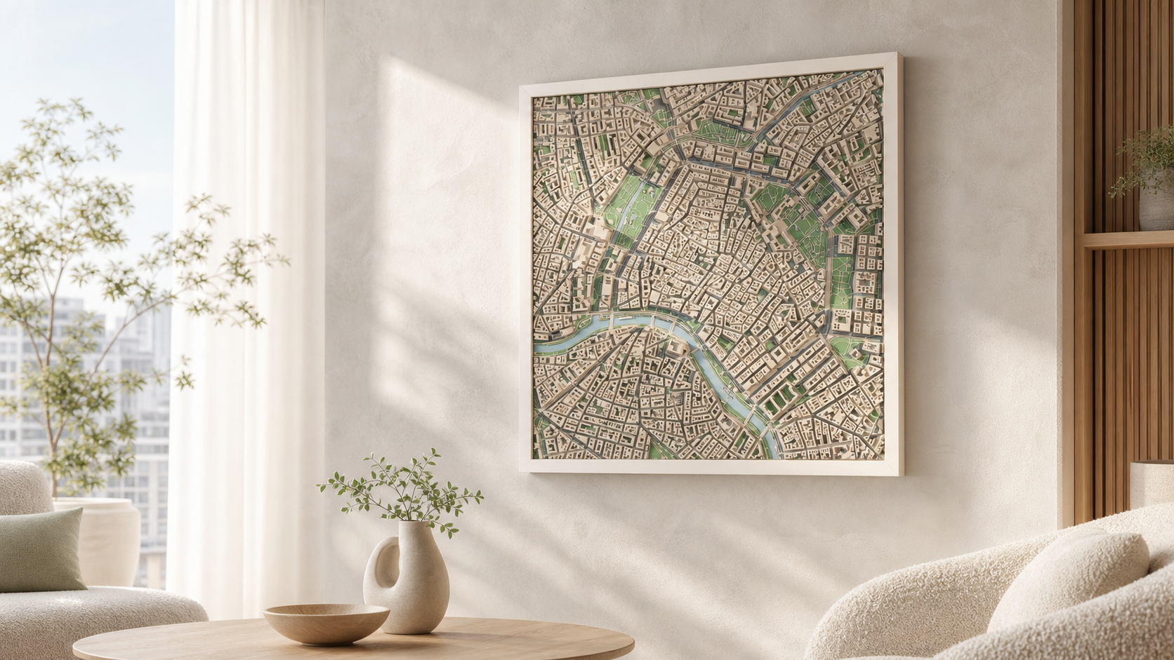
Stockholm is built across fourteen islands, so almost any frame you choose contains water. The contrast between open channels, quays and dense 1800s blocks is what makes the city read clearly in relief: Gamla stan becomes a tight, even mass, Södermalm's ridge lifts the whole southern edge, and Riddarfjärden cuts a wide flat plane straight through the middle.
What the model actually shows
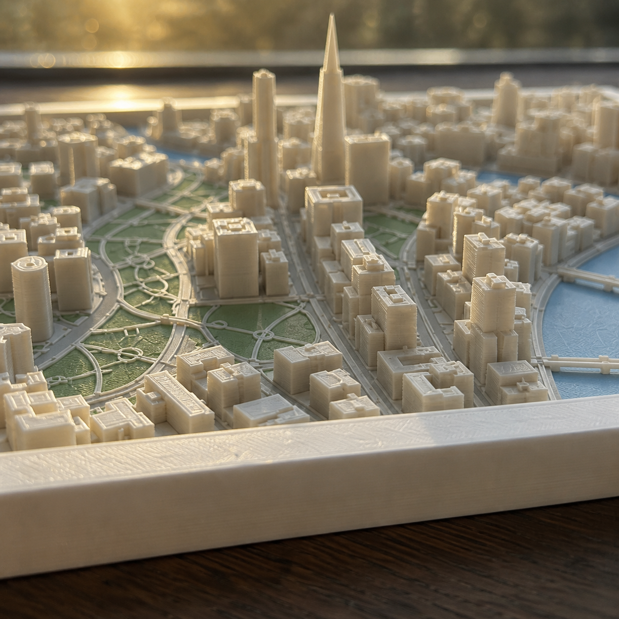
The model is generated from real building footprints and heights plus terrain elevation, so rooflines, courtyards, bridges and the height difference up to Södermalm are all present in the print.
How it works
- 1. Search the place and frame the square on the map.
- 2. Choose palette, size and frame.
- 3. Generate the preview and order when it looks right.
Sizes, frames and delivery
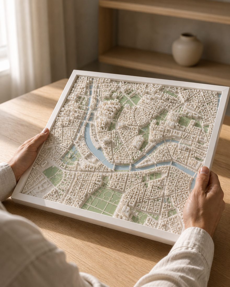
- Sizes
- 14 x 14 cm · 20 x 20 cm · 26 x 26 cm
- Frames
- White · Black · Oak
- Palettes
- Pastel · Polar · White
- Delivery
- Made to order and shipped tracked within the Nordics. Current times are on the shipping page. Shipping and returns
How the finished piece looks
Common questions
More places
Custom 3D map of Stockholm
Make your 3D map