Custom 3D map of Copenhagen
Nyhavn, Christianshavn, the lakes on a Sunday. Copenhagen is a city you know by its water edges, and those edges are exactly what a relief map is good at.
Make your 3D mapSee the preview before you order
Why this place works in relief
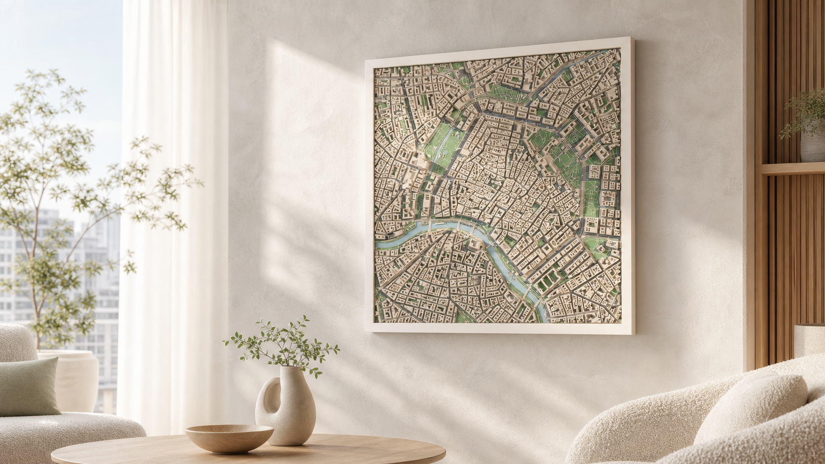
The harbour channel splits the city into two clear halves, the lakes draw a curved band along the western side of the centre, and Christianshavn's canals cut the island into strips. Between them the blocks are dense and even in height, which makes every water surface read as a sharp, deliberate shape.
What the model actually shows
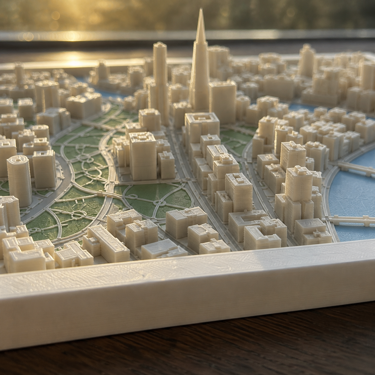
Footprints, building heights, bridges and the harbour outline come from real geodata, so the courtyards of the inner blocks and the open water are both true to the city.
How it works
- 1. Search the place and frame the square on the map.
- 2. Choose palette, size and frame.
- 3. Generate the preview and order when it looks right.
Sizes, frames and delivery
- Sizes
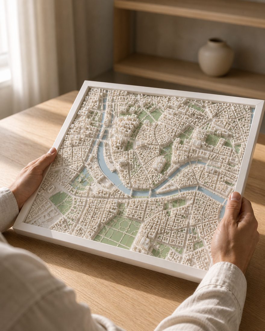
- 14 x 14 cm · 20 x 20 cm · 26 x 26 cm
- Frames
- White · Black · Oak
- Palettes
- Pastel · Polar · White
- Delivery
- Made to order and shipped tracked within the Nordics. Current times are on the shipping page. Shipping and returns
How the finished piece looks
Common questions
More places
Custom 3D map of Copenhagen
Make your 3D map