Custom 3D map of Gothenburg
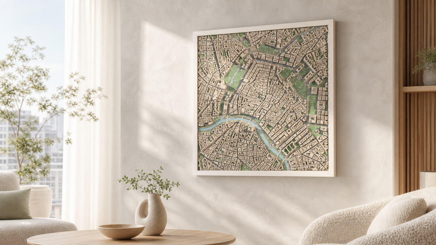
Gothenburg is a city of edges: the river on one side, hills and rock on the other, and a grid of canals holding the centre together. A relief map keeps all three in one square.
Make your 3D mapSee the preview before you order
Why this place works in relief
Göta älv gives every frame a strong diagonal, and the moat and canals around the inner city draw clean lines through otherwise dense blocks. South and east of the centre the ground rises quickly, so terrain elevation does real work here — the difference between the harbour edge and the higher districts is visible in the print.
What the model actually shows
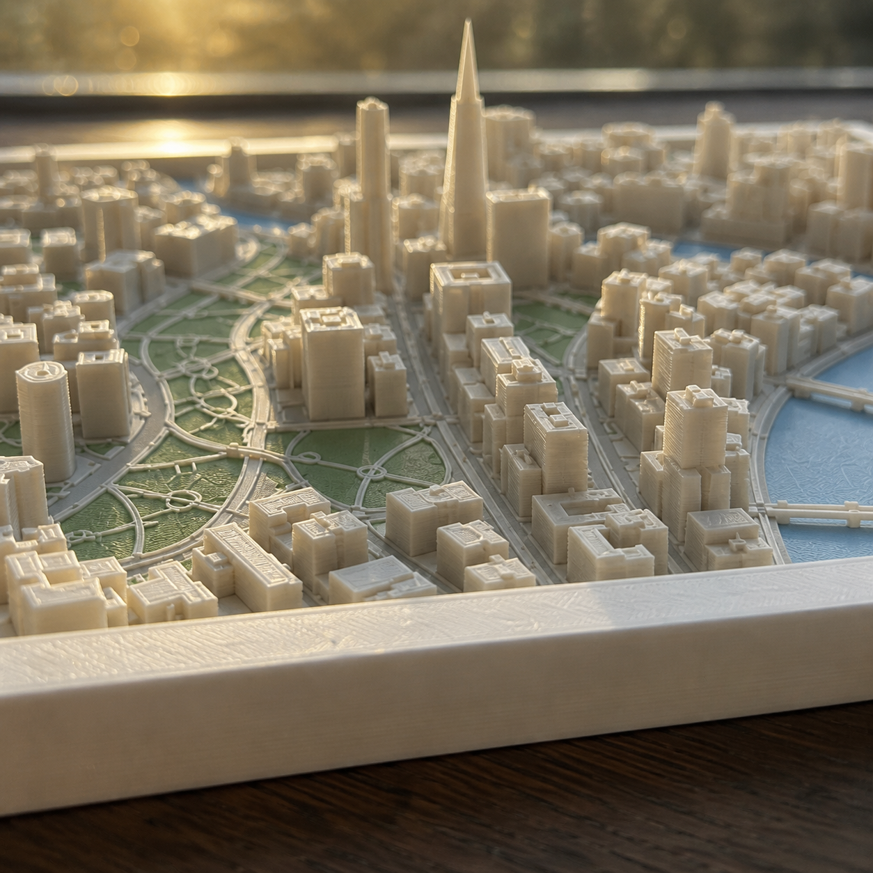
Building heights, quays, bridges across the river and the elevation of the surrounding rock are all taken from real geodata, not drawn by hand.
How it works
- 1. Search the place and frame the square on the map.
- 2. Choose palette, size and frame.
- 3. Generate the preview and order when it looks right.
Sizes, frames and delivery
- Sizes
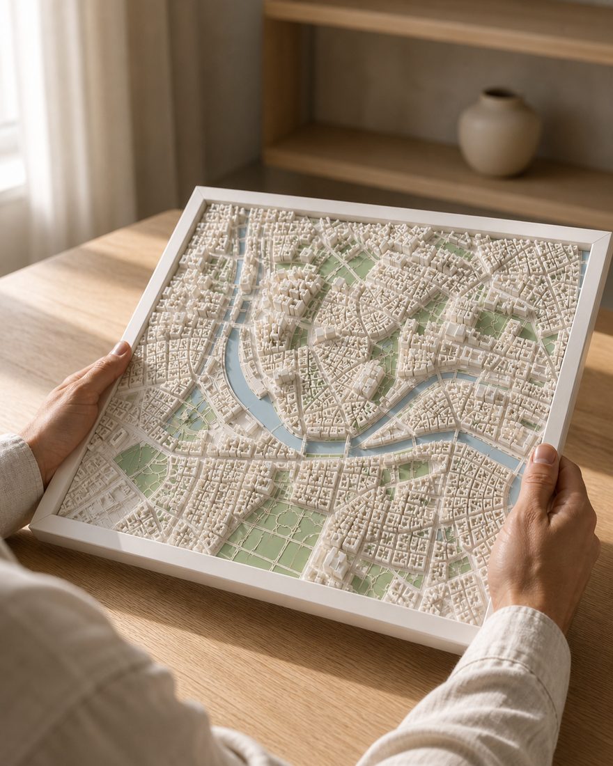
- 14 x 14 cm · 20 x 20 cm · 26 x 26 cm
- Frames
- White · Black · Oak
- Palettes
- Pastel · Polar · White
- Delivery
- Made to order and shipped tracked within the Nordics. Current times are on the shipping page. Shipping and returns
How the finished piece looks
Common questions
More places
Custom 3D map of Gothenburg
Make your 3D map