Custom 3D map of Helsinki
Helsinki is a peninsula with the sea on three sides, which means most frames you choose will contain a coastline rather than just streets.
Make your 3D mapSee the preview before you order
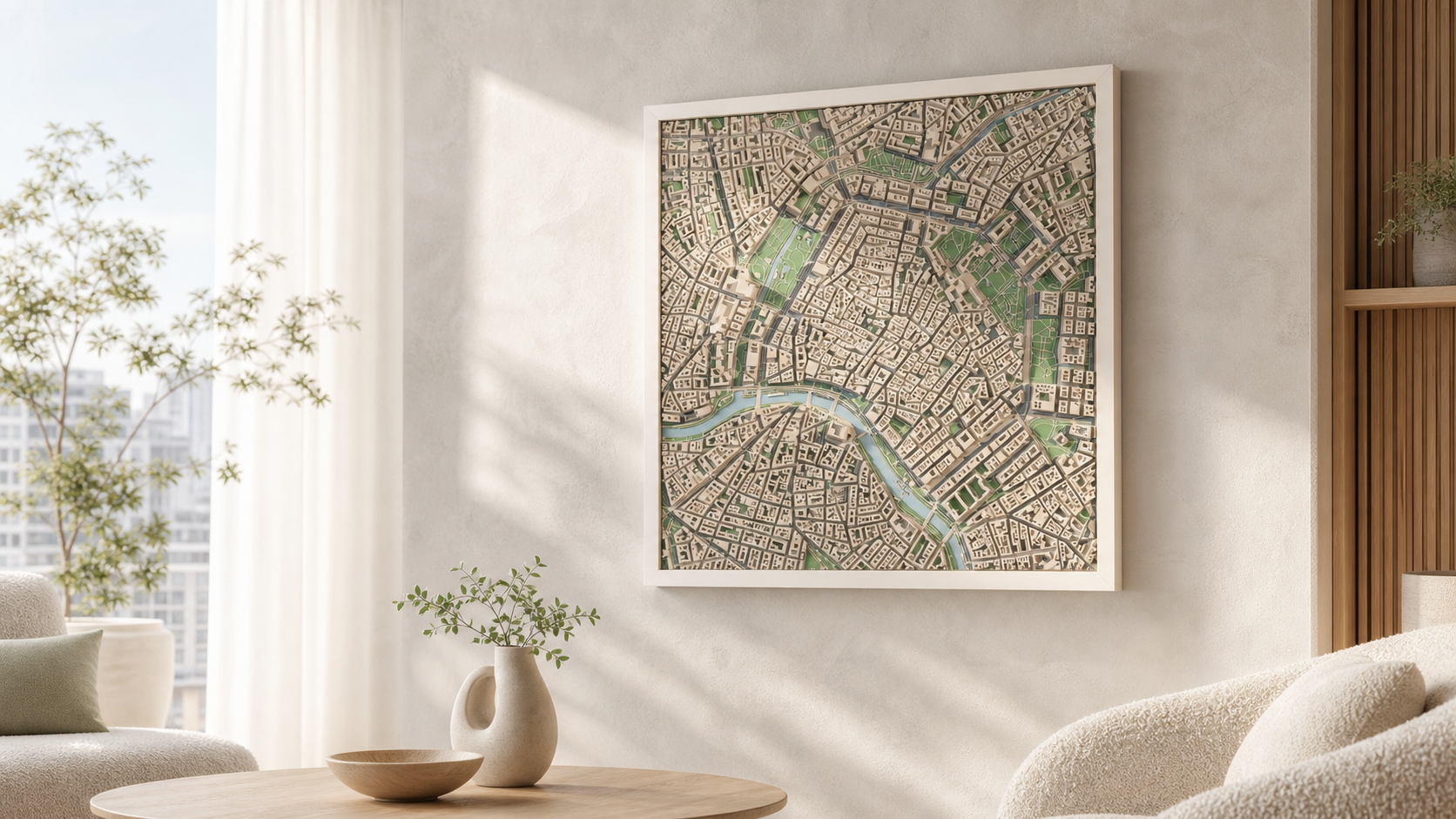
Why this place works in relief
The city centre sits on a narrow headland, so the shoreline wraps around the blocks instead of running past them. Bays cut deep into the built area, the islands offshore break the water into fragments, and the tightly packed early-1900s blocks give a consistent, even relief against all that open surface.
What the model actually shows
The model uses real building heights and the actual coastline, so bays, piers and the small islands inside your frame all appear in the print.
How it works
- 1. Search the place and frame the square on the map.
- 2. Choose palette, size and frame.
- 3. Generate the preview and order when it looks right.
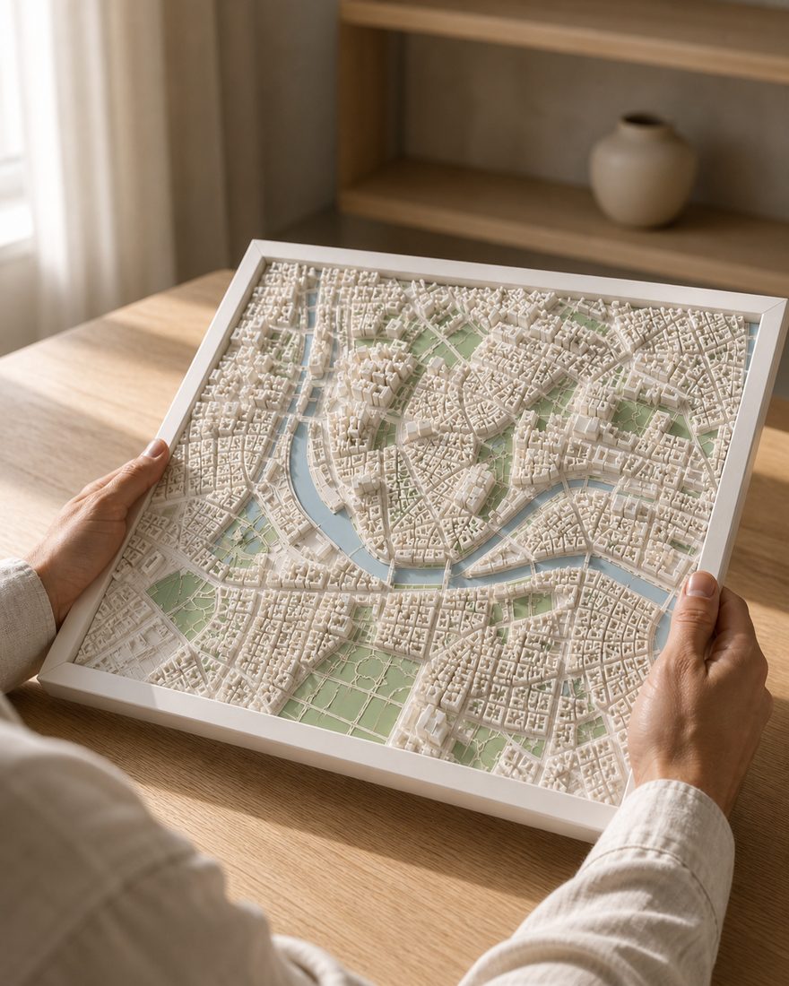
Sizes, frames and delivery
- Sizes
- 14 x 14 cm · 20 x 20 cm · 26 x 26 cm
- Frames
- White · Black · Oak
- Palettes
- Pastel · Polar · White
- Delivery
- Made to order and shipped tracked within the Nordics. Current times are on the shipping page. Shipping and returns
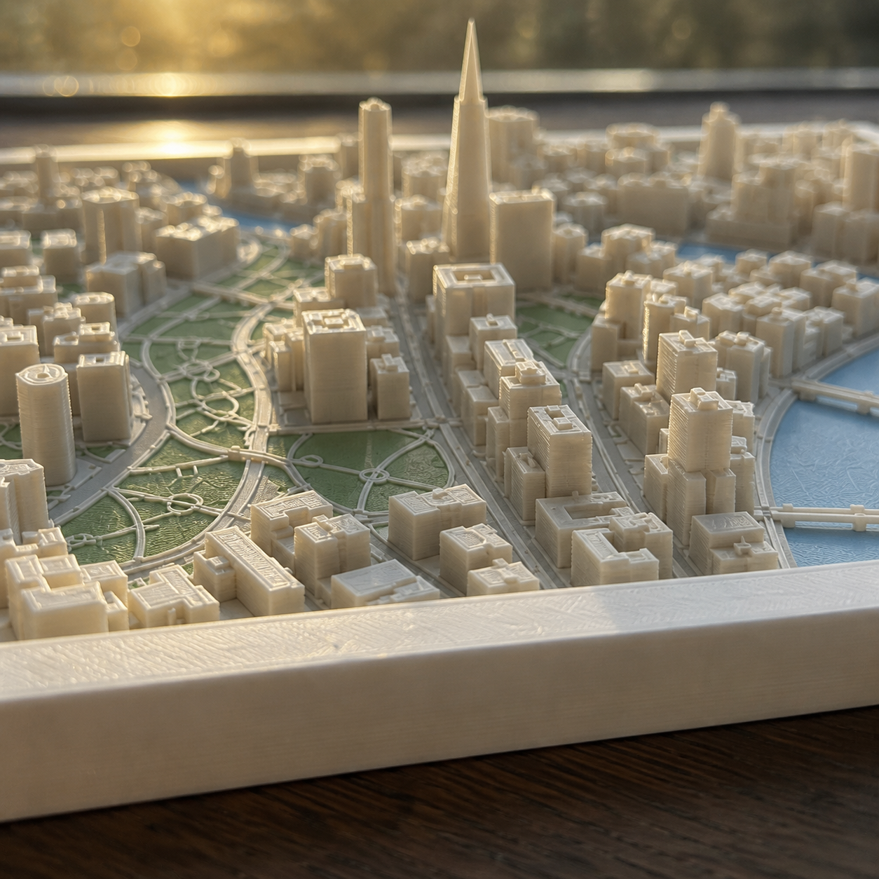
How the finished piece looks
Common questions
More places
Custom 3D map of Helsinki
Make your 3D map