Custom 3D map of Oslo
Oslo sits in a bowl — fjord at the bottom, forested hills all the way around. Almost no other capital changes height so quickly within walking distance of the centre.
Make your 3D mapSee the preview before you order
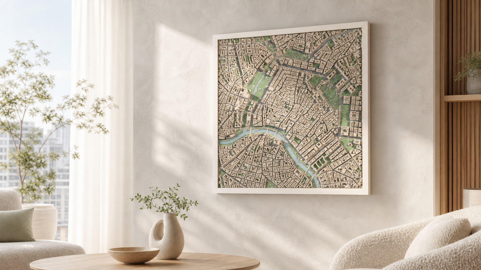
Why this place works in relief
The head of the Oslofjord gives the southern edge of any frame a wide, calm water surface, and the ground climbs steeply behind it. That combination is unusually good in relief: the flat harbour front, the compact centre around Karl Johans gate, then a rising slope towards Frogner, St. Hanshaugen and the ridge beyond.
What the model actually shows
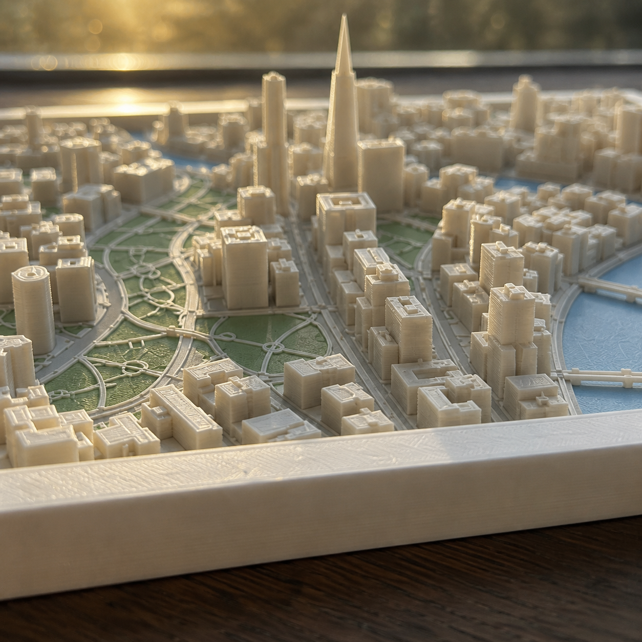
Both building heights and terrain elevation are taken from real data, so the climb from the waterfront to the higher districts is a physical height difference in the finished piece.
How it works
- 1. Search the place and frame the square on the map.
- 2. Choose palette, size and frame.
- 3. Generate the preview and order when it looks right.
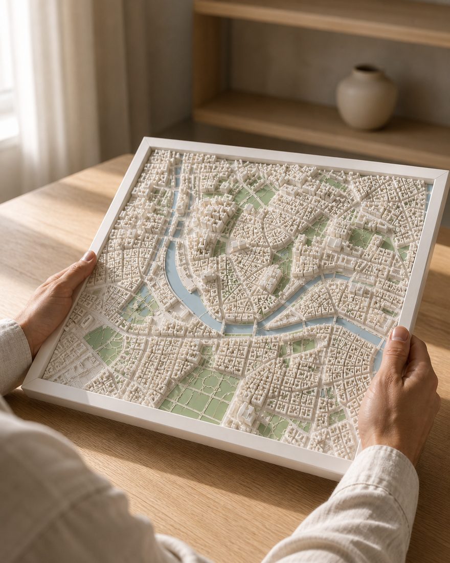
Sizes, frames and delivery
- Sizes
- 14 x 14 cm · 20 x 20 cm · 26 x 26 cm
- Frames
- White · Black · Oak
- Palettes
- Pastel · Polar · White
- Delivery
- Made to order and shipped tracked within the Nordics. Current times are on the shipping page. Shipping and returns
How the finished piece looks
Common questions
More places
Custom 3D map of Oslo
Make your 3D map